Sustainable Transport
Are you arriving by a sustainable means of transport? Let us know and we will give you a discount if you are camping* or a bar credit if you are staying in the B&B. Just add Promo code SUSTRANS when you book, and tell us how you are travelling in the Special Requests box.
Find out how to get here by public transport. Full directions will be sent by email a couple of days before your arrival.
*Only one offer per booking – cannot be used in conjunction with the Nearly Wild Camping offer
Public Transport
We are accessible by public transport from Monday to Saturday but you need to plan very carefully to make the connections! Unfortunately the nearest bus services on a Sunday are the 38 and 39 from Bovey Tracey.
Useful Links: Teignbridge Area Bus Map April 2024 and the Devon Interactive Bus Map
Live tracking of buses: Bustimes.org
The nearest railway stations are Exeter St Davids, Newton Abbot and Okehampton.
The main buses serving us are:
- Newton Abbot to Okehampton – 178 this is a “hail and ride” service so you can request the bus driver to stop at the B&B or campsite even though there isn’t a bus stop. It does go on a tour of Bovey Tracey, Lustleigh, Chagford and South Zeal on the way.
- Newton Abbot to Tavistock via Moretonhampstead and Two Bridges – 171 summer only – slightly more direct than the 178.
- Exeter to Moretonhampstead – 359 via Dunsford
- Exeter to Moretonhampstead – 173 via Tetburn St Mary and Chagford
- Exeter to Ivybridge via Bovey Tracey – 38 runs every day
- Newton Abbot to Bovey Tracey – 39 runs every day
- Tavistock to Newton Abbott via Two Bridges – 172 (summer only) – Monday to Saturday
- Newton Abbott to Bovey Tracey via Haytor – 193 – Wednesday and Friday Only
- Bovey Tracey to Widecombe – Haytor Hoppa – Summer Saturdays Only
Give us a call in advance of your arrival to arrange a pick-up of your luggage from Moretonhampstead.
Remember – all single bus journeys are currently capped at £3.
Please do not try to walk along the A382 to get to us if you get off in Moretonhampstead. It is much safer to walk down the Wray Valley Trail following the directions we will send you by email shortly before your arrival. Just ask in Moretonhampstead for the start of the “bike trail”.
Under your own steam
Being on the Wray Valley Trail makes it easy to get to us on foot or bicycle. We use our bikes for short trips – when we don’t have lots to carry!
The trail connects us off-road to Moretonhampstead and Lustleigh and out on to Dartmoor. It is part of the Dartmoor Way cycling route and we are only 2 miles from the main route from Lands End to John O’Groats.
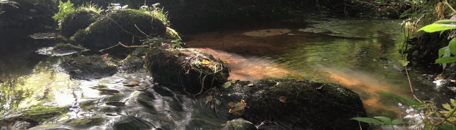
If you find the bridge a little tricky to negotiate with a fully loaded bicycle, there is a chain wrapped around a tree beside it that you can lock your bikes to. Or come and get us and we will give you a hand to get your bikes across.

Electric Vehicles
We have two EV charging points: one at the B&B and one in the Hay Meadow field. Other public charging points can be found using Zap Map.
